Visiting the Nars
correction: Elk, not deer!
Want to start at the beginning? Go to [part 1]

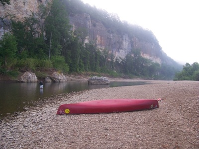
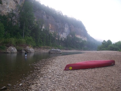
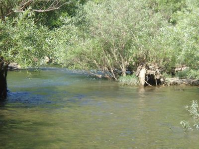
The Nars
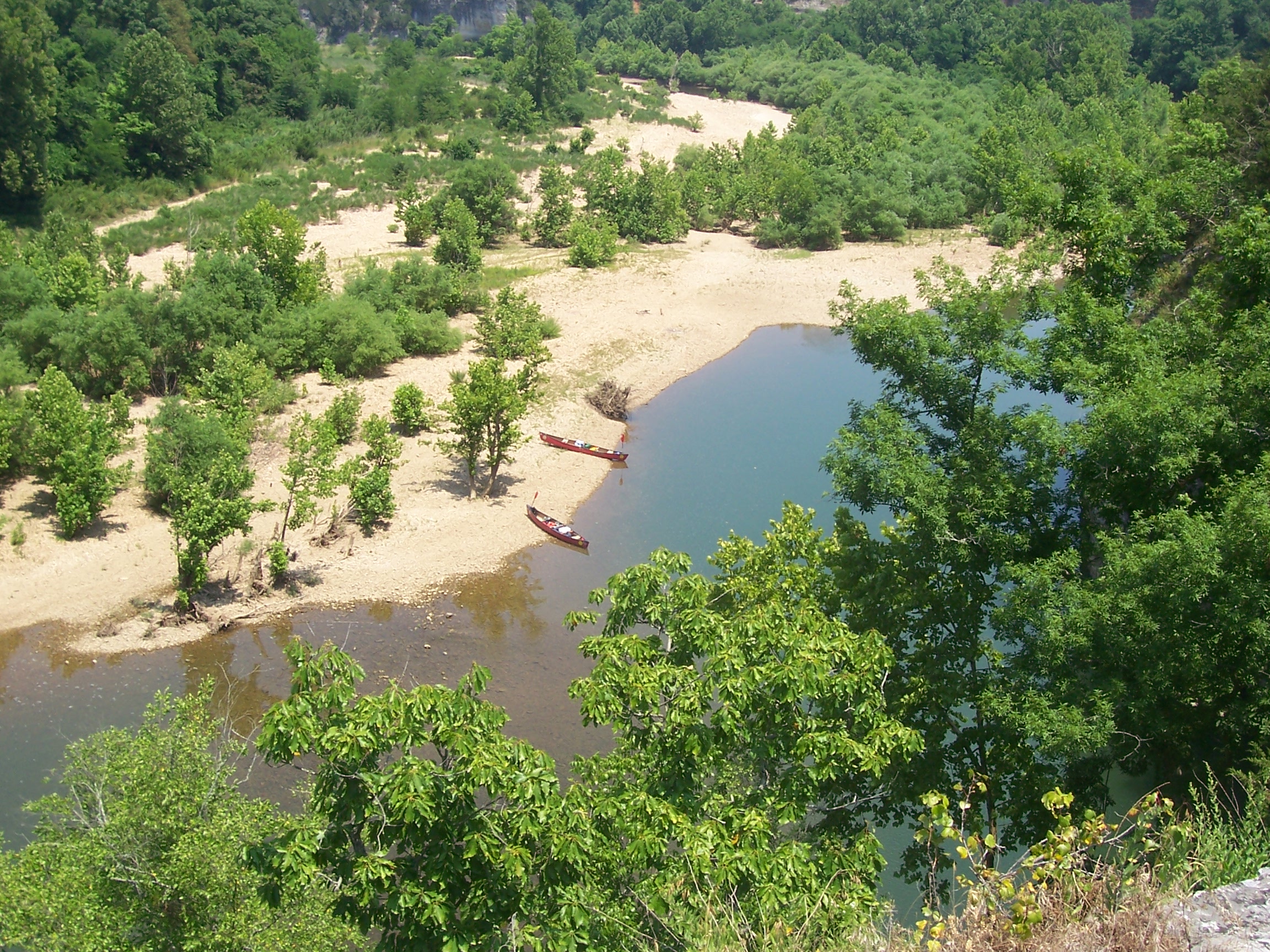
The Nars is a very tall and NARrow sliver of limestone bluff. We had planned all along to stop here and climb around the Nars and generally just chill out, and the middle of the day heat when we arrived made it all the more imperative.
We pulled the canoes up onto a rocky beach directly across from the Nars and hung out in the cool river water. After a while, we climbed up to the top of the bluffs. While there isn’t an established trail, it isn’t a difficult climb, at least when following Tom’s lead and go up roughly in the same spot where we had in our previous excursion, said spot conveniently located almost directly across from Tom’s current location and consisting of a meandering wade to the base of the bluff.
If one were to follow the Marc/Danny road less traveled, the following adventures could be had:
- A traipse in the surprisingly mucky muck to find a different location for crossing.
- A deceptively fast and deep water crossing which would prove impossible to traverse while holding a small pack out of the water.
- The exhilarating, relentless joy of life feeling one gets and is desperately attempting to cling to as the crossing turns into a “hmmm- I might actually be having a problem keeping my head above water here while this pack is rapidly filling with water” near-drowning experience.
- Saying bon voyage to the now soggy digital camera that led to the whole implausible “let me cross this current while holding the bag out of the water because I didn’t plan ahead and bring a dry bag” event in the first place.
- Attempting a climb approximately five times as hard as the one Tom and Jake have taken, maybe-probably ten times as hard once the exhaustion of avoiding a drowning is factored into the equation
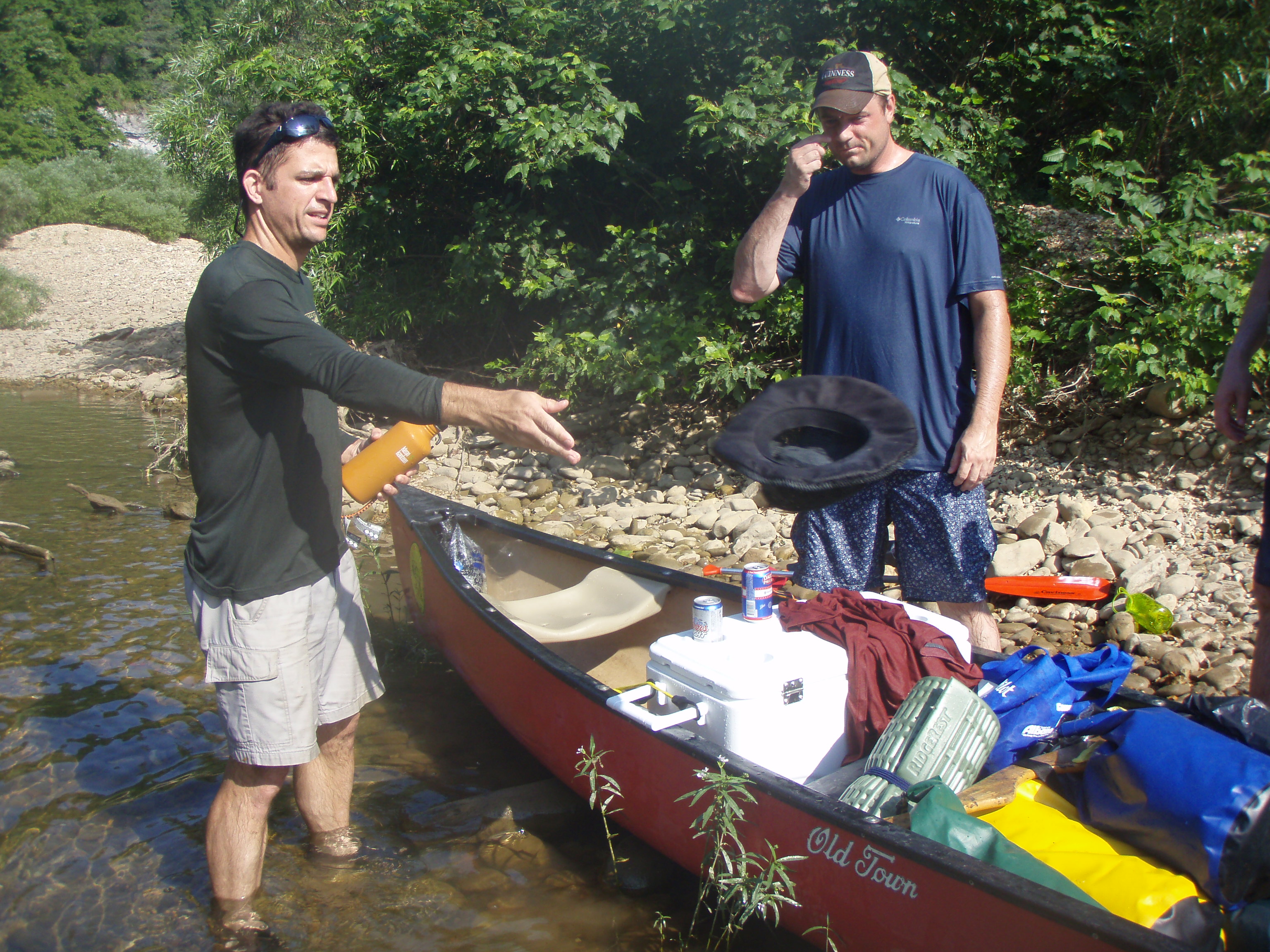
All these mini-adventures were somewhat time consuming compared to Tom and Jake’s climb. They had multiple photo-ops while they waited on the Marc and Danny party to make their way over.
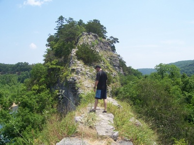
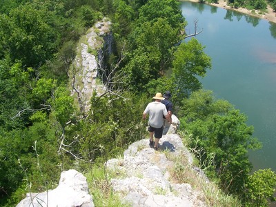
As can be seen here, the top of the bluff really is narrow, there isn’t really any room for error on either side.
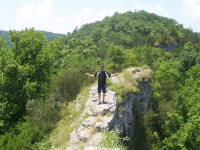
This return visit to the Nars was particularly good for Tom. On the last vist, Tom had made the climb and walked the top of the bluff right up to the section where the crossing was very narrow. This time up, Tom crossed over the narrowest part and took in the views.


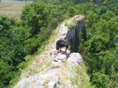
A small eternity later, Marc and I show up and take the narrow section over to the western edge of the bluff.

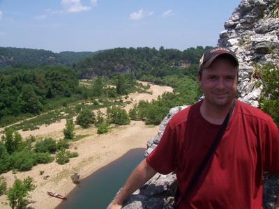
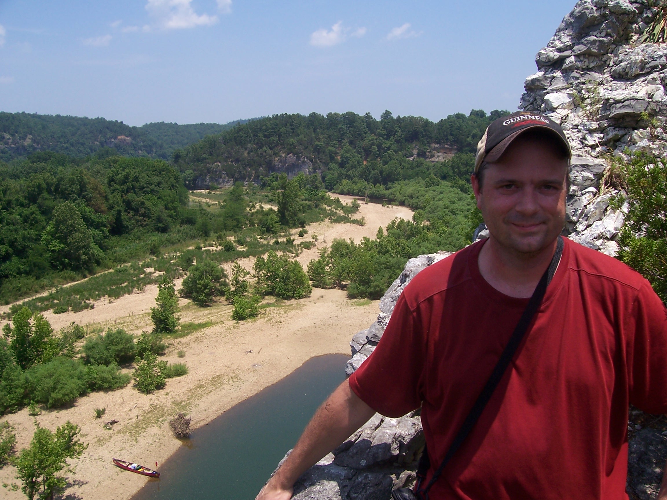
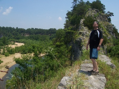
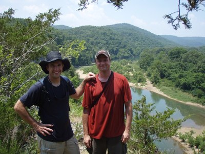
Tom and me on top of the Nars:
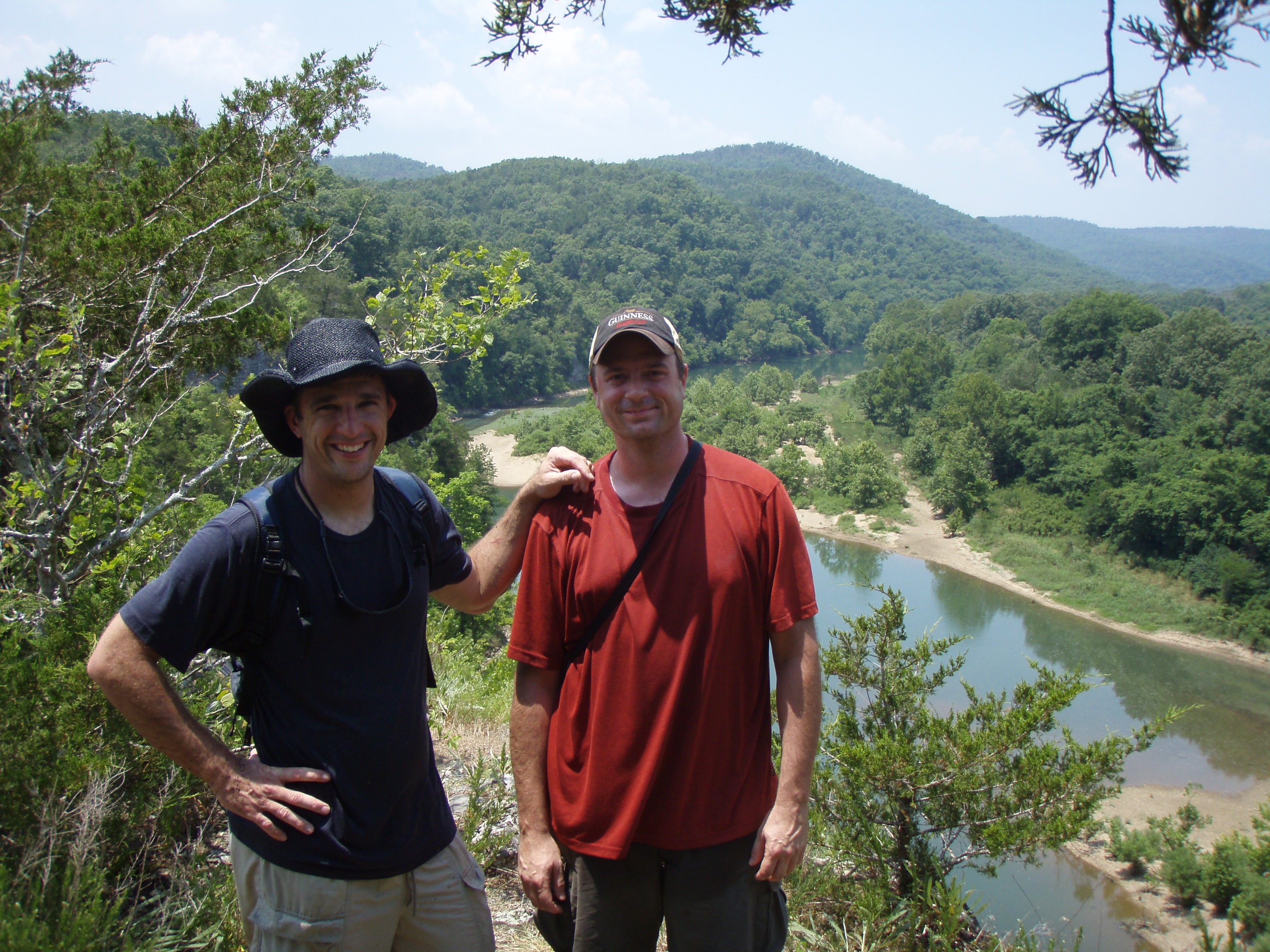
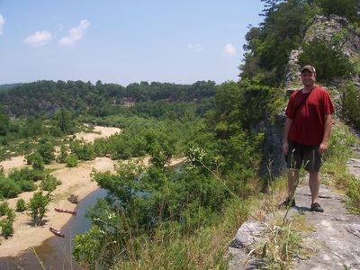
Looking over the other side of the Nars:

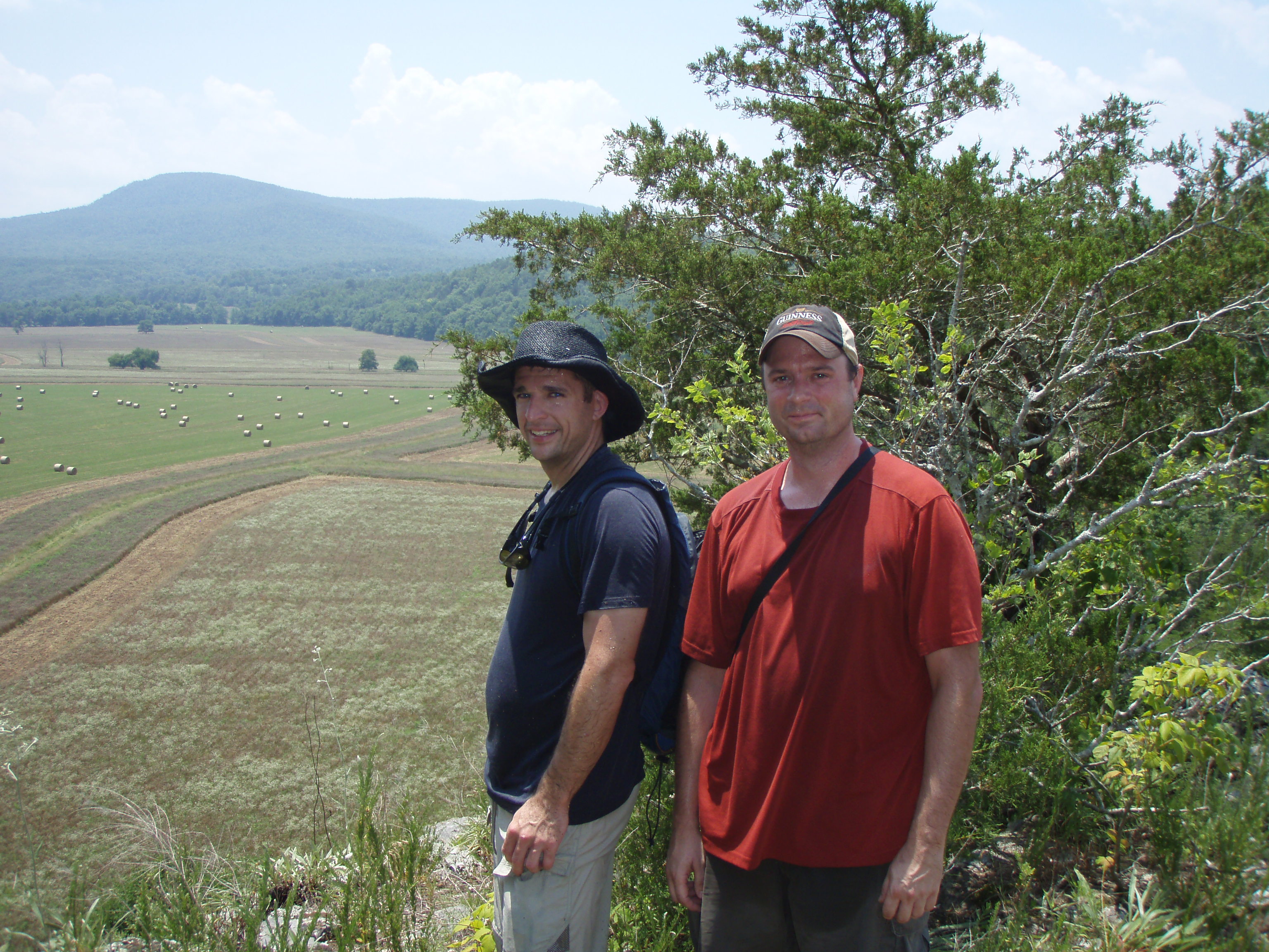
Something that is only apparent from the top of the Nars is that while the one side of the bluff is all Buffalo river, the other side is pasture. Last time we were up here, we saw cows grazing. This time we see hay bales waiting for pickup.
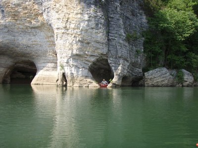
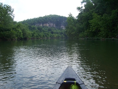
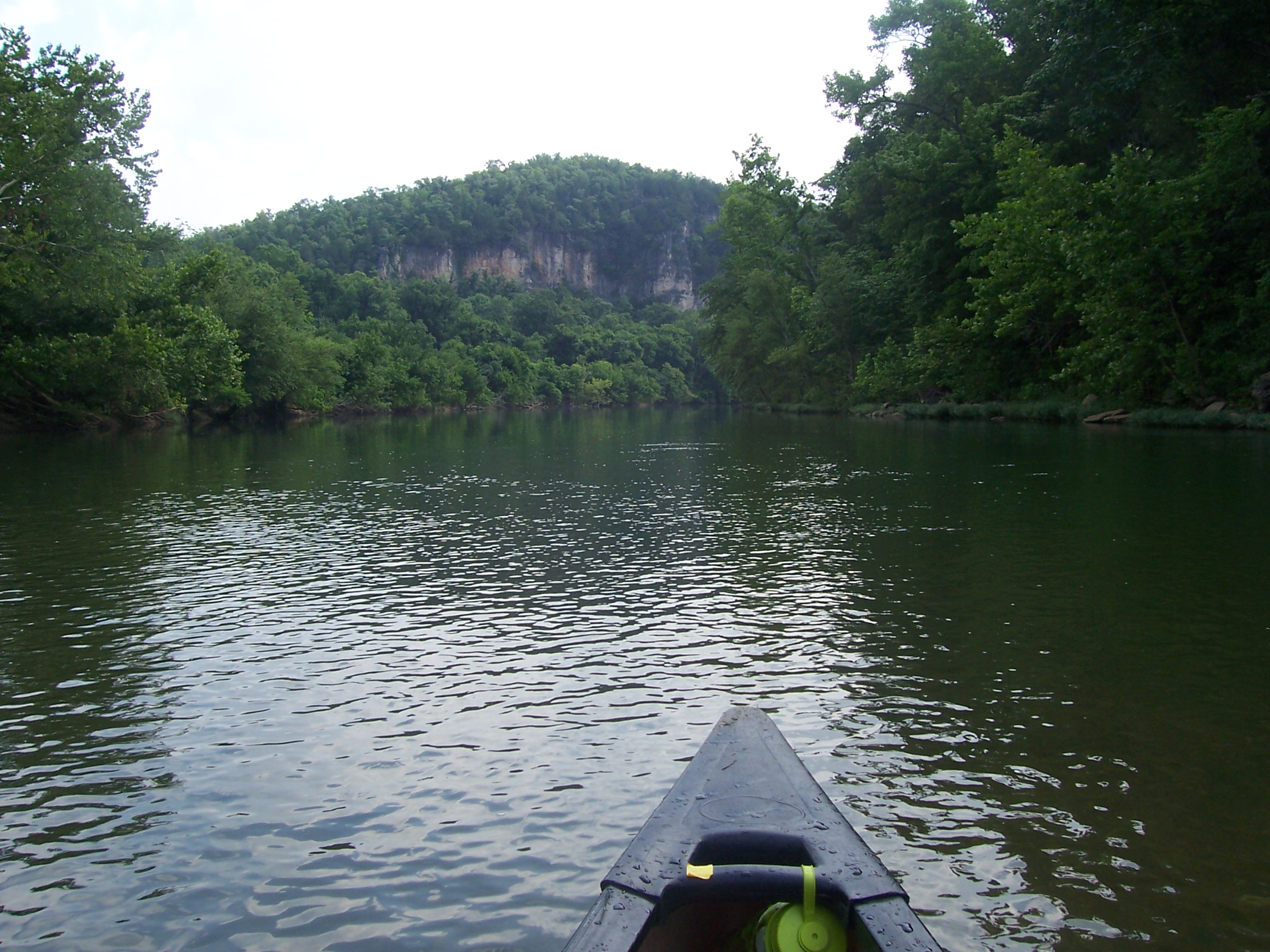
Skull Bluff
A short float past the Nars is Skull Bluff. We floated around, but the water was just a tad too low to make it through the eyes of the skull.

[Flickr user stark_photo] has some nice shots of Skull Bluff in his photostream:

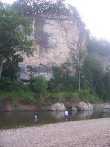
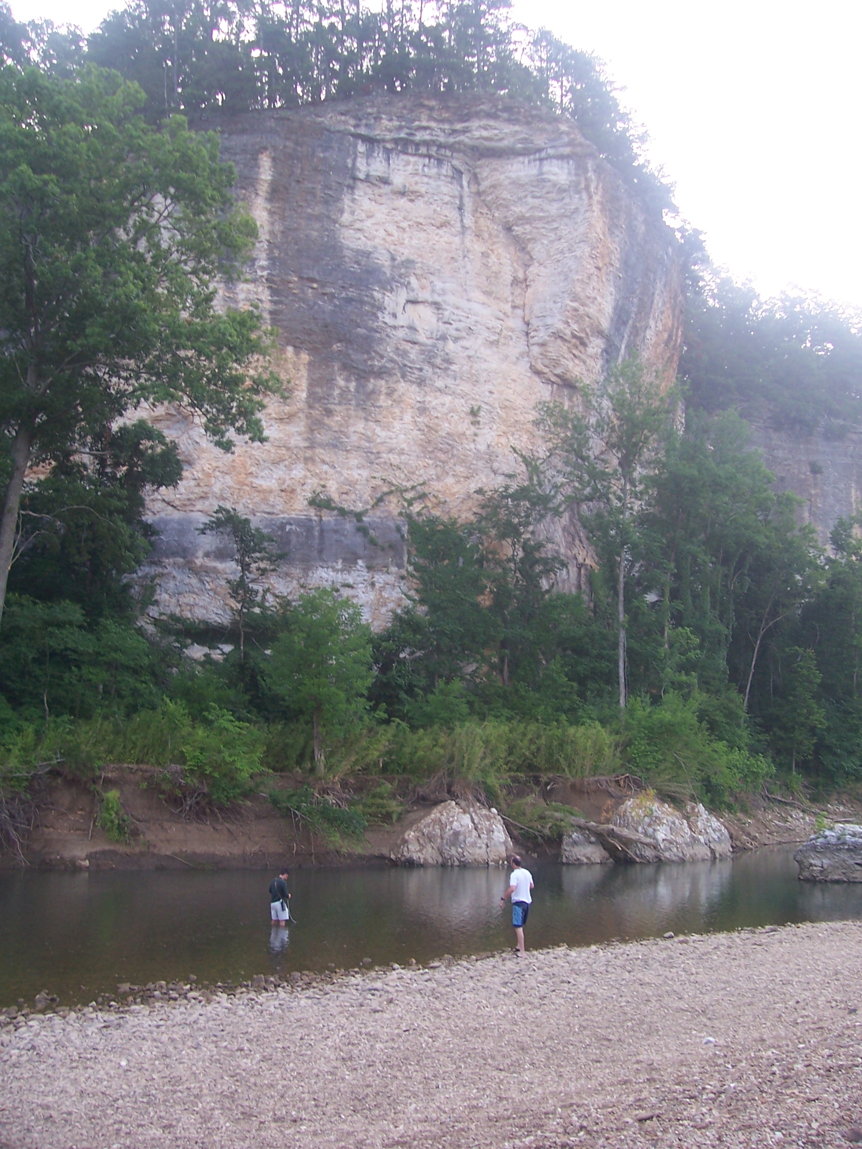
After Skull Bluff we floated down a few miles towards Baker Ford and found a good place to set up camp for the night in the shelter of the bluffs.


Marc and I stayed up and watched the stars- got to see several shooting stars. It was also pretty cool to see the lightning bugs all up and down the bluff. The bugs were not an issue thanks to these [Thermacell] units we brought along on a recommendation from a co-worker. These thing flat out work- Marc ended up staying out the whole night and didn’t have any issues with flies or mosquitoes.
Pesky willow trees
Day 2 started out with beautiful weather, the whole works.
The outfitter had warned us that right near Baker Ford, we would have one dodgy spot to navigate. As it turned out, they were exactly right. We were warned to stay far right, but Tom and I in the lead canoe didn’t realize we were in the bad spot until it was right on top of us. The current shoved us far left directly into some willow trees overhanging the water. The overhang was the killer- while the occupants of the canoe were tangled in the branches, the current pushed the canoe farther and farther under water until we tumped over.
The tumping grounds:
All in all, it wasn’t a bad flip. Marc and Jake were able to retrieve our one wayward paddle and we had secured all our gear really well, even the cooler was unaffected. At first glance, it looked as though we got through unscathed, I kept possesion of my hat and sunglasses (hooray!). The hardest part was beaching the canoe so we could flip it
Surveying the canoe post-tump:

It turned out we lost a beer (irretrievable) and a fishing pole. I’m positive the pole was just caught up in the willow and we just did not know to look for it. It is a small point of pride that while Tom and I tumped over once, the Marc/Jake team flipped twice. The second time is completely inexplicable except for Marc standing up and leaning far enough over to flip the canoe yet somehow expecting Jake to counter. Anyway, 2-1, we win!
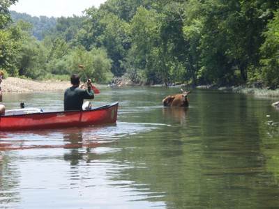
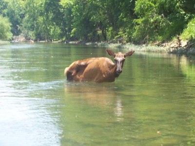
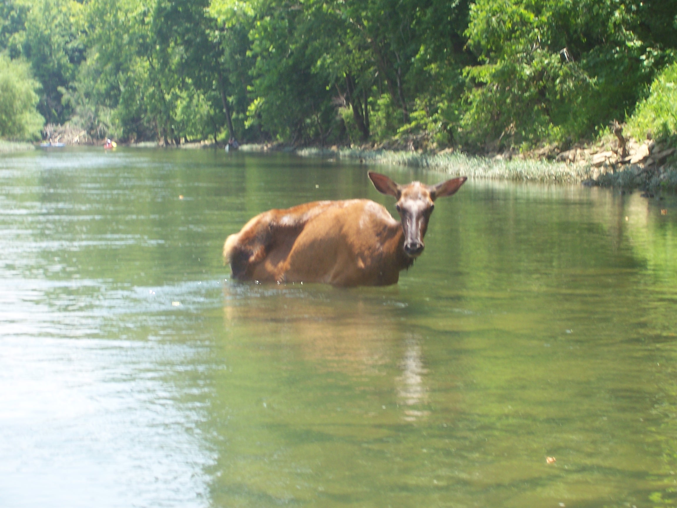
Deer Elk get hot, too
{My father in law tactfully pointed out that the pictures below clearly indicate an elk. Duly noted}
For this whole section of the river, we hadn’t seen many people, but plenty of wildlife. We didn’t expect to see any elk in the middle of the river, but we passed one, standing as calm and pretty as you please in the river, presumably cooling off.
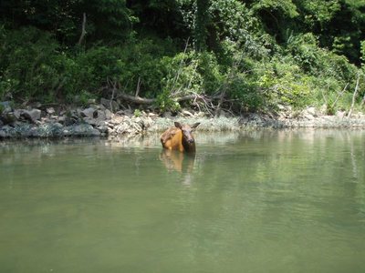
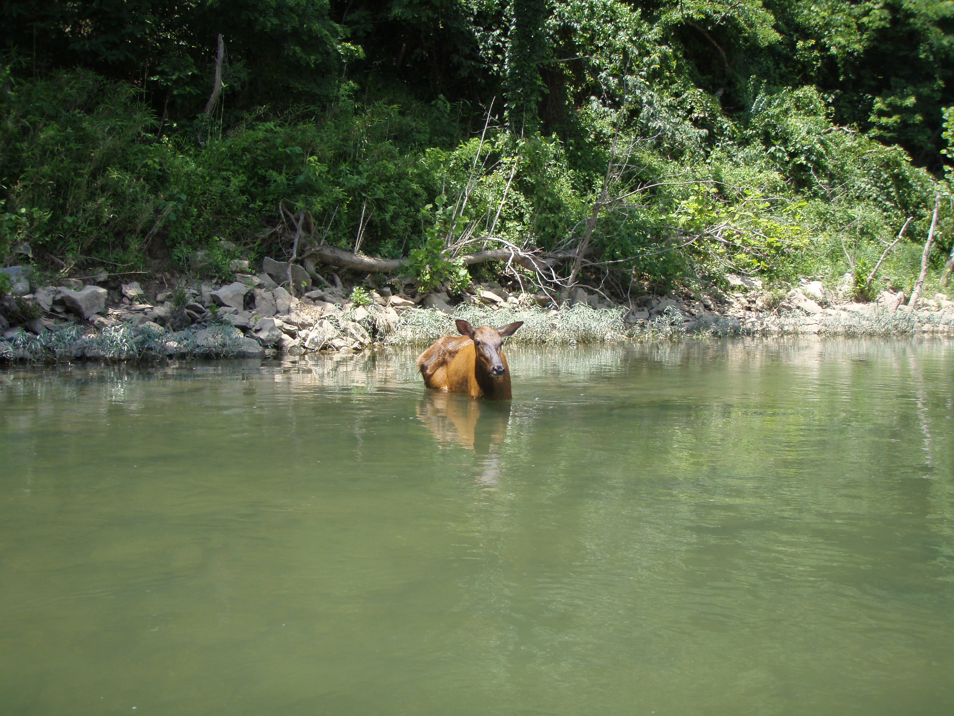
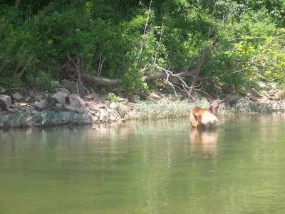
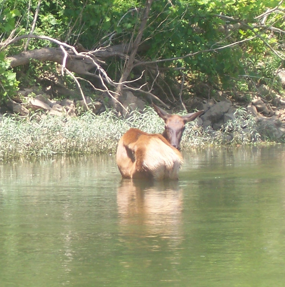
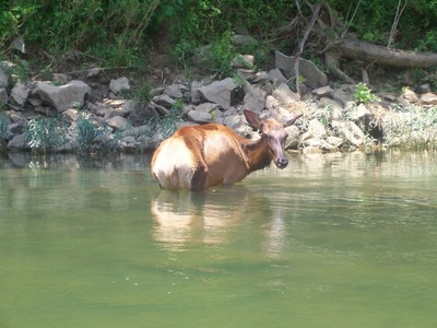

My first thought was that the animal had gotten stuck and might be dangerous, but it appeared as docile and unfazed as could be. “Hey guys, elk get hot, too, you dig?” Tom and I actually made a u-turn to get a bit closer and this pregnant mama elk barely budged.

Finishing up

The deer more or less served as a waypoint in the float. Not too far after, we passed through Tyler Bend and Grinder’s Ferry.
Where we had seen very little people traffic up-river, the last part of the float was full of boats, people, rafts, floats, etc. Friendly folks all around, including some who helped us replenish our depleted beer supply. Fun stuff, but a little jarring compared to the previous couple of days.
Being so close to the end and having the river full of folks, we paddled along the short distance to Gilbert. “We” here means Tom, Marc, and Jake, as I managed to sleep the last few miles of the float. Tom was an able single paddler and we got out of the river relatively early Saturday afternoon, about 24 hours ahead of schedule.
Only a couple hours of driving separated us from Little Rock…
continue on to [part 4]